Record notes
Value of this record
Patent abstract
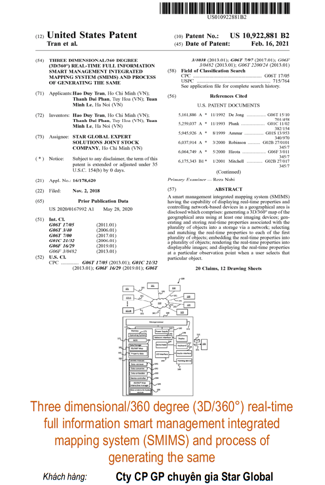
A smart management integrated mapping system (SMIMS) having the capability of displaying real-time properties and controlling network-based devices in a geographical area is disclosed which comprises: generating a 3D/360° map of the geographical area using at least one imaging devices; generating and storing real-time properties associated with the plurality of objects into a storage via a network; selecting and matching the real-time properties to each of the first plurality of objects; embedding the real-time properties into a plurality of objects; rendering the real-time properties into displayable images; and displaying the real-time properties at a particular observation point when a user selects that particular object.
Source record
Technical and legal facts were reconciled against the referenced U.S. patent publication source and IP Group's certificate register.